I teach courses in remote sensing at the Bachelor’s, Master’s and PhD level. Below are some lectures and resources I use in my courses.
Free compendium “Forest remote sensing” edited by Håkan Olsson and Heather Reese.
Citation: “Olsson, H and Reese, H. (ed). 2018. Forest Remote Sensing. Ljungbergs Compendium. Swedish University of Agricultural Sciences.”
Remote Sensing and GIS
This is a classroom course for 2nd year undergraduate students at the University of Gothenburg coming from geography, marine sciences, environmental sciences, geology and climate science studies (Earth Sciences). It is often the students’ first course in remote sensing.
Here is the first lecture, Introduction to remote sensing
Lecture on “The future remote sensing” – one of my favorites every year. Updated January 2, 2023.
AI for Earth and Environmental Sciences, PhD course
This course was a challenge to put together for the first time it ran in 2021/22. We held it for 23 PhD students in the ClimBEco program, which includes students from Gothenburg and Lund University. We will give the course again, by popular demand, in Spring 2024.
Here is the schedule.
Distance-based course in Remote Sensing
One of the first distance courses in general remote sensing, this course attracts students of all ages from over Europe. The course goes at 25% pace and is done entirely with open-source software.
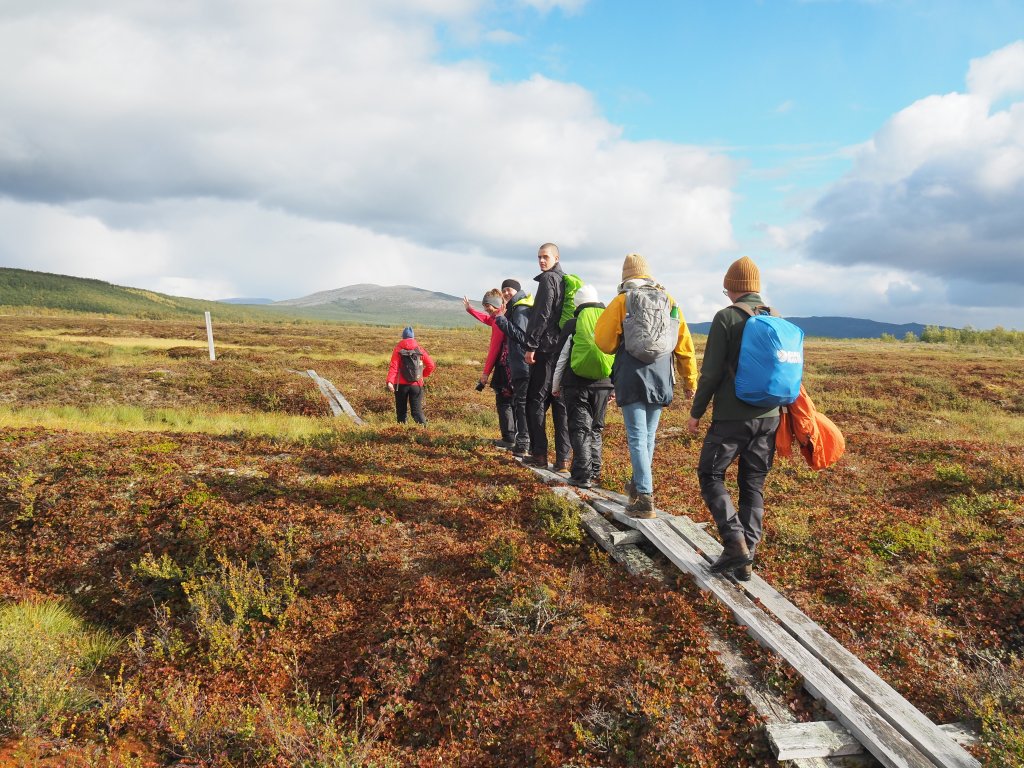
Subarctic Field Course
Every year I accompany 20+ students to the palsa mire in Saarikoski, and once back, I supervise a student project that applies remote sensing within this third year field course.